Borderline ambiguity: How Google Maps removes disputed Western Sahara border for Morocco users
NeutralWorld Affairs
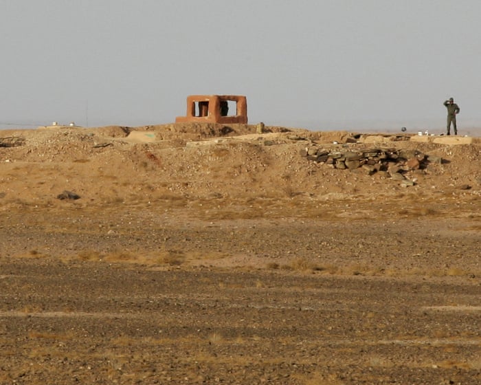
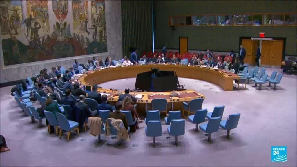
Google Maps has acknowledged that it displays the border between Western Sahara and Morocco differently based on the user's location, effectively omitting the disputed border for users in Morocco. This discrepancy came to light following media reports linking it to the UN Security Council's endorsement of Morocco's autonomy plan for Western Sahara. The situation highlights the complexities surrounding territorial disputes and the influence of technology companies in shaping perceptions of such issues.
— via World Pulse Now AI Editorial System